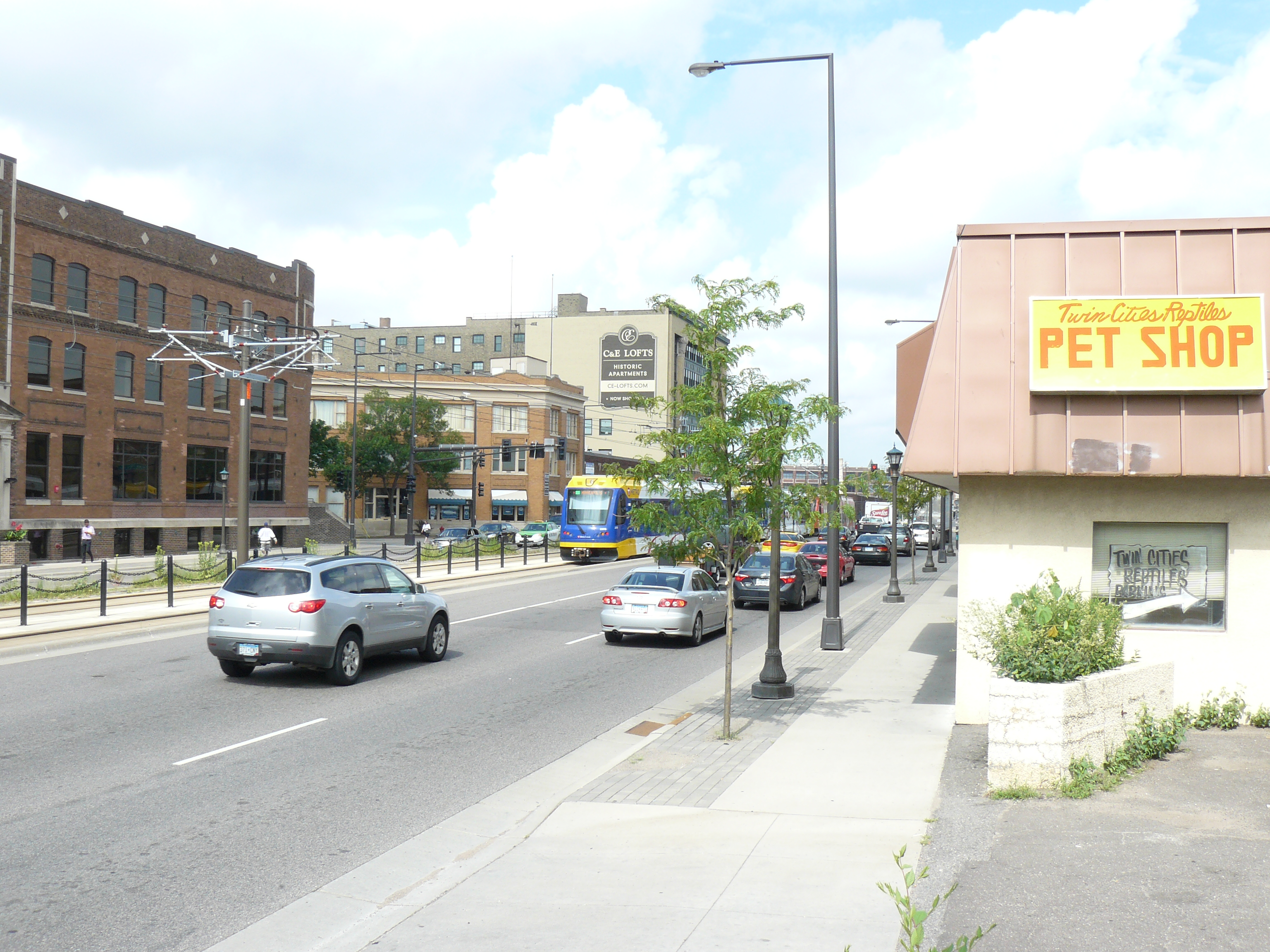
The Green Line – “Then and Now”
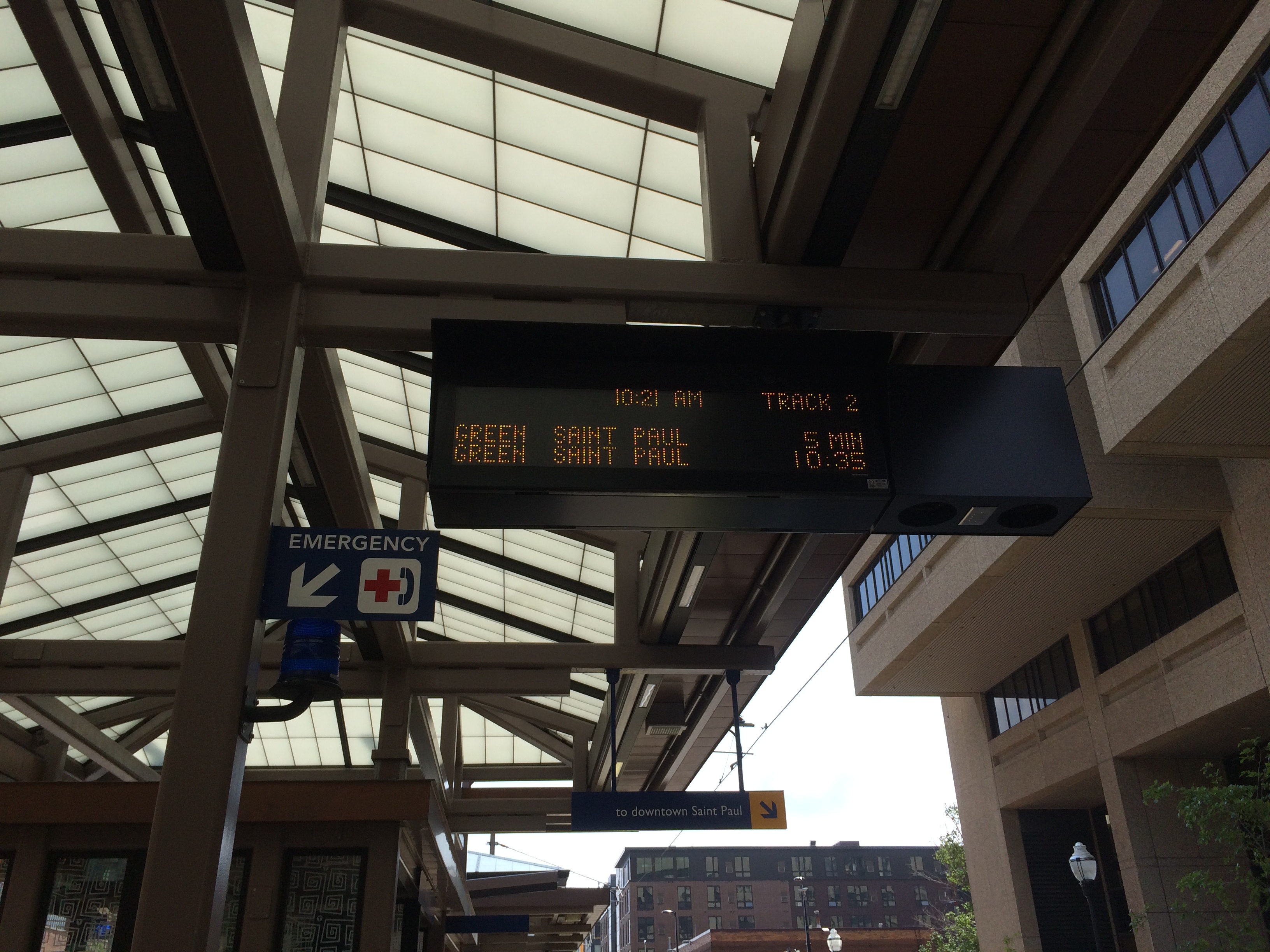
Ever since the Green Line opened I have wanted to try to do a “Then and Now” showing the green line running right where the streetcars were 70 years ago. I didn’t find much in the MNHS database but I found a few photos. So I hopped on the green line and took a ride. This time I took photos both with my “real” camera and with my iPhone just in case I liked some better than others. I found doing that in London was a good idea. I tried to get a picture with the green line in frame (if possible) too just further drive home my point.
Coffman Memorial Union, U of M
This was my first stop and I had two photos from this area. This first photo had a few anchors I could use. Northrup is in the background and I have a pillar on the right. When I got there I realized the angle was such that the photo was not taken at ground level. So I went up to the second floor of Coffman and found a lounge (nicely remodeled) and found what was maybe the same window this photo was taken from. I also realized I had other anchors like the shrubbery on the mall in front of Northrup (it’s the same) and the sidewalk diamonds (there’s a little less sidewalk now).


Washington Avenue SE, in front of Coffman
The only thing to anchor me in this photo is Washington Avenue itself and the bridge. The area looks so vastly different now. Of course all the snow makes it look even more different when compared to the mid 80s and sunny.

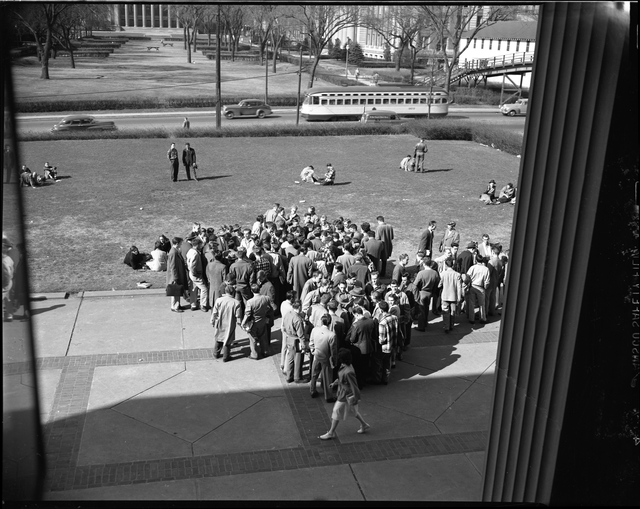
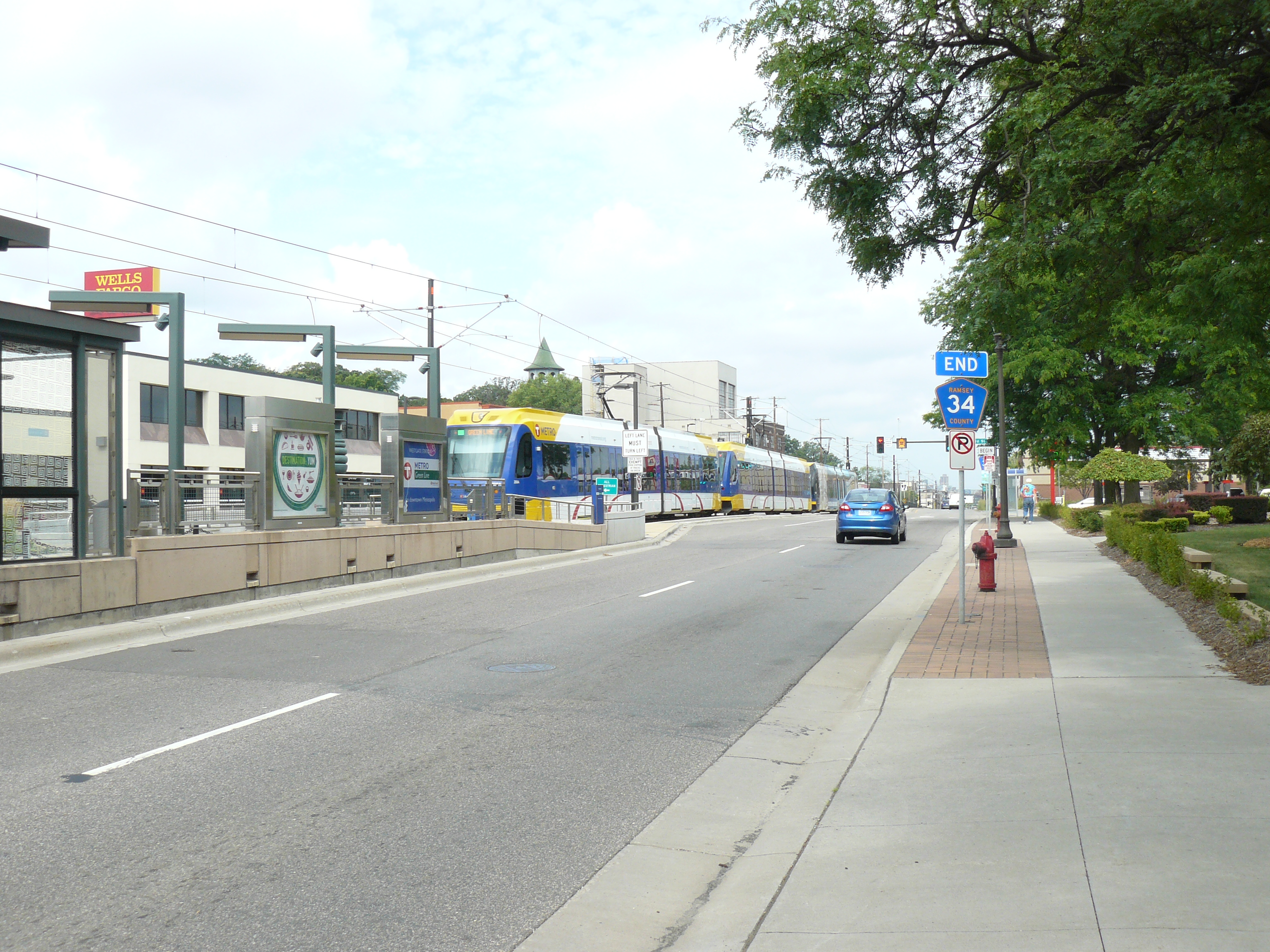
University and Emerald Street, looking west
Back on the green line and a short ride to the city limits. The next two photos I found were taken at the boundary between the twin cities. This area has changed a lot so I thought this might be a challenge. Looking at the first photo you might think “and where is that?” But looking closer there are a few anchors. The witch’s hat tower is poking up in the distance and just in front of it is a building that still exists (red-orange brick building). I am also considering the fire hydrant an anchor (right in front of the city limits sign) as I suspect those don’t move much. Note the end of Ramsey County Road 34 marking the edge of St Paul now.

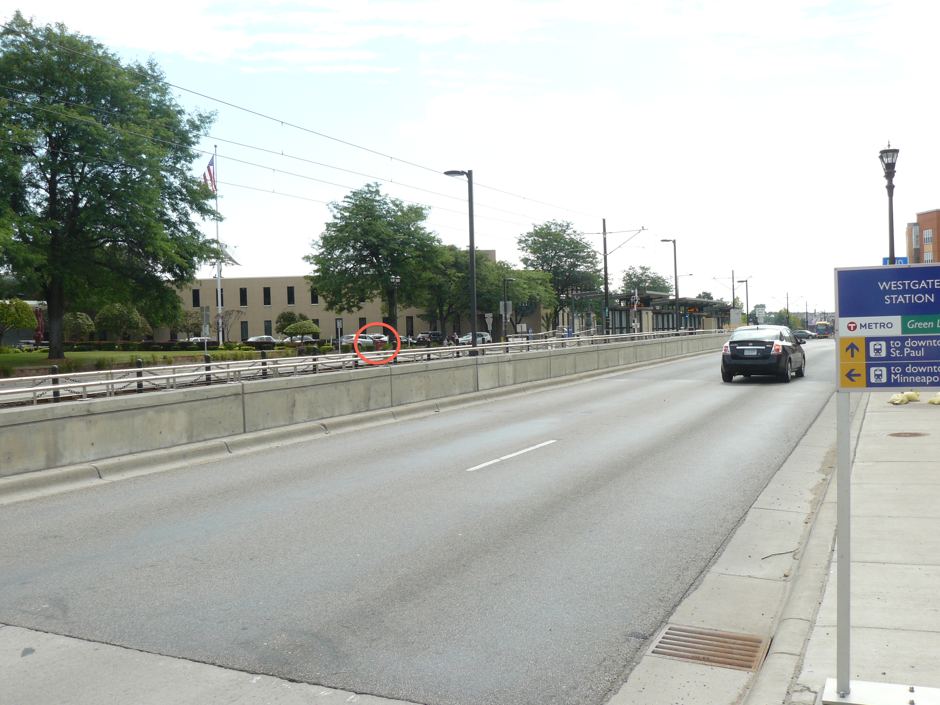
University and Emerald Street, looking east
This one was very tricky as pretty much everything is gone from the old picture. The only thing I used to anchor it was that lonely fire hydrant that used to be in front of the city limits sign. I circled it in the “now” photo as it’s hard to see.
University and Raymond
This was my last stop today. This area has a few large warehouses so I knew I could anchor it easily. However the photo was taken from high up, perhaps on a roof. I couldn’t accomplish that, but I found a concrete wall that I could get up on to get a higher vantage point. It irks me to see the lofts paint over the old lettering that was on the side of the building. Grrrrrr.
Leave a Reply